Blogs

Weather Risk for Supply Chains: The Transition from La Niña to El Niño

This year will see a major change in weather risk for supply chains as the global climate is undergoing a major transition. As we move from a prolonged La Niña event to an anticipated El Niño, weather circulation patterns around the globe will fundamentally shift.  

This transition will alter weather-related risks in many areas of the globe, directly impacting supply chains, business operations, and transportation networks. In this post, we explore the science behind this shift and what you need to know to prepare for the changes ahead.

From Cold to Warm Ocean Waters 

When meteorologists discuss El Niño and La Niña, they refer to the temperature of ocean waters in the equatorial Pacific. This natural cycle has occurred throughout history, with periods of unusually warm water (El Niño) and unusually cold water (La Niña). 

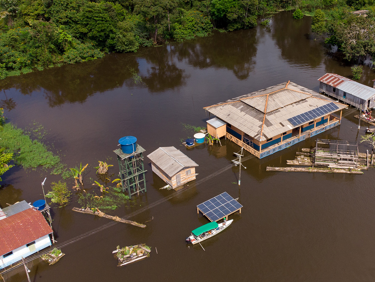
For the past couple of years, the world has experienced a La Niña event. This prolonged period of cold waters in the equatorial Pacific brought extreme weather events, including severe flooding in Southeast Asia, India, Indonesia, and Southern China, alongside persistent dryness in parts of the United States. 

However, 2026 is unique. We started the year firmly in La Niña conditions, but a transition is currently underway. Water temperatures in the core monitoring zone of the equatorial Pacific are warming. As of April, sea surface temperatures (SSTs) have risen to normal levels.  Hence, the multi-year La Niña event is over.    

Current probabilities indicate neutral conditions throughout the spring months, with a high likelihood, exceeding 80% in some forecasts, of an El Niño event developing by summer and continuing through the latter half of the year. 

Graphic showing how ocean water temperature in the equatorial Pacific changes during warm water El Niño and cold water La Niña cycles.

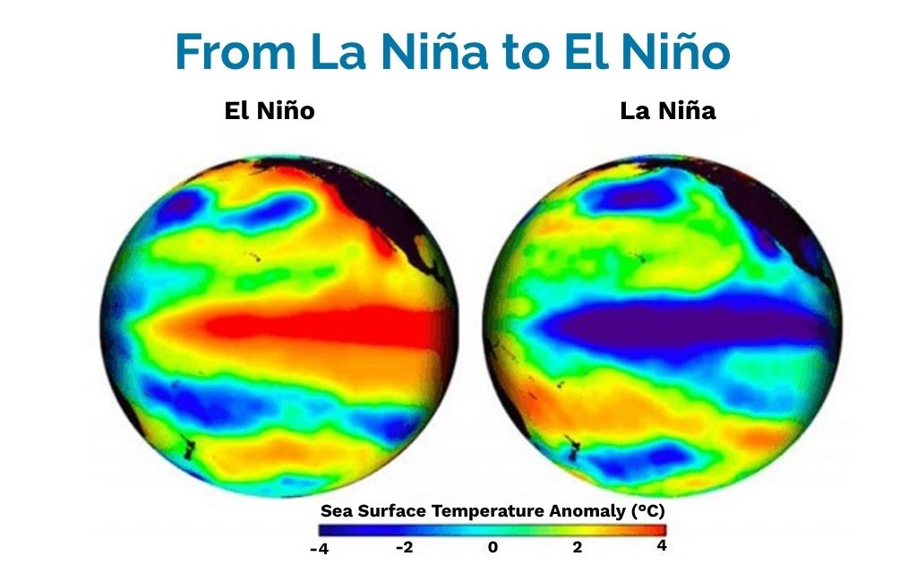
Figure 1: During El Niño, the temperature of ocean waters in the equatorial Pacific heats up altering precipitation and temperature patterns, which changes weather risk for supply chains.

How Extreme Weather Depends on Oceanic Cycles 

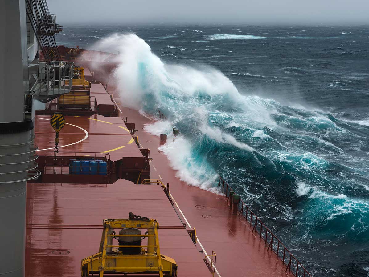
This transition is important because much of the extreme weather that impacts global supply chains is dependent on these oceanic cycles. Transitioning from La Niña to El Niño essentially transfers risk across the globe, altering precipitation and temperature patterns. This will potentially cause supply chain disruptions for both procurement and logistics. 

The Americas 

The shift to El Niño brings varied impacts across the Americas: 

North and South America (General): Much of North America and large parts of South America (such as Argentina, Uruguay, Paraguay, and southern Brazil) typically see reduced dryness risks during El Niño. More frequent rain activity can occasionally cause localized flooding, but it generally alleviates large-scale drought conditions.  

Western United States: The western U.S., which has faced significant precipitation and snow deficits recently, may find relief but not until late this year and early in 2027.  El Niño winters tend to produce much wetter conditions with higher snow totals in this region. This is a crucial area to watch for water resource replenishment heading into next winter.  Acute dryness the past 6 months in the west (the water season in this area) portends for a high probability of a hot summer with enhanced wildfire risk.    

Central America and Northern South America: In stark contrast, Central America becomes a zone of increased dryness risk. Countries like Panama, Costa Rica, Guatemala, Venezuela, and Colombia often experience reduced rainfall during El Niño transitions. 

The 2026 Annual Supply Chain Risk Report

Get insight into 2026’s most disruptive supply chain risks and strategies to mitigate them. 

Get the report

The Panama Canal 

The increased dryness risk in Central America has direct implications for global logistics, specifically concerning the Panama Canal. The canal lock system relies on water levels in Lake Gatun, which are driven by rainfall. 

While Lake Gatun is currently at near-record high levels for the early dry season in April,  the situation could deteriorate later in the year and into 2027. The last two transitions from La Niña to El Niño occurred in 2015 and 2023. During both of these, reduced rainfall led to well-below-normal lake levels by the end of the year. These low water levels caused significant issues and restrictions on vessel movement through the canal. This remains a critical area to monitor as the rainy season approaches later this year.  

The Pacific Rim 

On the other side of the Pacific, El Niño brings a much larger area of increased dryness risk. This zone spans from India and Southern China across Southeast Asia and down into the Southwest Pacific, including Australia and New Zealand. 

Southeast Asia: The transition fundamentally changes the risk profile in Southeast Asia from severe flooding (experienced during La Niña) to heat and dryness. We are already seeing signatures of this developing El Niño. Portions of Indonesia and Malaysia, including the Singapore area, recently received less than 50% of normal rainfall, resulting in decreased soil moisture. 

Taiwan: Taiwan is a key area for semiconductor chip production, an industry heavily reliant on water resources. With dryness already in place as the rainy season approaches, any shortfall in rainfall could develop into significant operational issues. 

Preparing for the Changes 

The transition from La Niña to El Niño is a critical climate event that transfers weather-related risks globally. As we move through the remainder of the year, it is vital to monitor these developing patterns.  

You should pay close attention to heat and dryness in Southeast Asia and Taiwan, especially regarding water resources and the procurement of agricultural materials or critical components like semiconductors.  

Similarly, monitor the situation in Central America, particularly concerning tropical crop sourcing (sugarcane, coffee, fruits) and the operational status of the Panama Canal. 

By understanding these shifting circulation patterns, you can better anticipate weather risk for supply chains. This helps mitigate potential disruptions to your supply chain and business operations. 

Applied Meteorology at Everstream Analytics 

Led by the former Chief Meteorologist of Citigroup, Everstream Analytics’ team of dedicated applied meteorologists have 60+ years of combined experience applying weather events to supply chain insights and industries. We go beyond basic forecasting by analyzing and applying billions of daily global weather data points and historical trends to your operational data to formulate sharp, focused, future-looking insights that support your supply chain risk management strategy. 

In addition, we offer advisory solutions. Our experts provide guidance that informs strategic business decisions impacted by short- and long-term climate trends such as energy and agriculture trades, crop predictionlogistics mode selection, livestock stress and feed requirements, site recommendations, and more. Learn more. 

The 2026 Annual Supply Chain Risk Report

Get insight into 2026’s most disruptive supply chain risks and strategies to mitigate them. 

Get the report

Share this post